Topocad - for the surveyor in the municipality or construction industry
Topocad serves civil engineering with a wide range of activities: from map management and production of map products to the engineer’s need for technical calculations at the construction site
Topocad is
In which area do you operate?

Topocad for construction
Volume calculations, construction, excavations, roads, utilities, ditches, as-built drawings, and much more.

Topocad for municipalities
Databases, land use planning, submissions to authorities, cadastral maps, urban planning, data management, design for municipalities, and much more.
Topocad for educational institutions
Topocad for teachers and students! For institutes teaching Topocad and special offers for students.
Topocad's Modules

Base Module
Includes BIM & Topology

Calculation Modules
Road, Railway, Utilities, Pipelines, Volumes & Net Adjustment

Municipality-Specific Modules
BAL & Civil Planning

Mapping & Database Modules
ISM, ArcGIS PRO, ArcGIS & FDO

Other Modules
Espa, Flex FME & FE”
What do our users say?
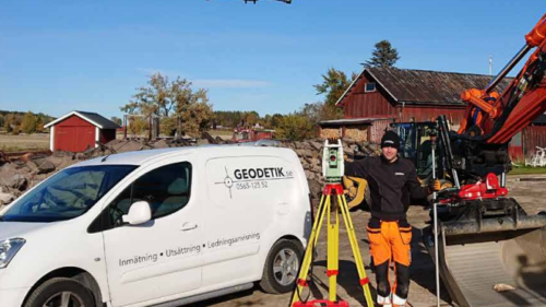
Drone images in Topocad enhance the quality of the drawing
Markus Johansson
survey technician on Geodetik
It’s about doing it right from the start. To get a base that complies with reality, survey technician Markus Johansson on Geodetik sends up a drone. With day-to-day pictures and surveyed objects, the design or drawing in Topocad is up-to-date. The number of errors are decreasing, Markus says.

Get in contact to learn more!
Contact us to
- Book a demonstration of Topocad
- Help you try-out the software

Would you like to receive information about our product news and events?
Subscribe to our newsletter!