Discover what's new in Topocad 25 – improved performance and functionality
We are now launching Topocad 25, packed with improvements and new features that give you even more possibilities to work efficient. We have listened to your requests and unlocked new workflows that make a real difference in everyday work.
“Topocad 25 is a game changer. We’ve taken everything users love and made it even better – plus we’ve added entirely new features that open new possibilities for greater efficiency and control.”
– Jakob Samani, Product Manager for Topocad, Adtollo
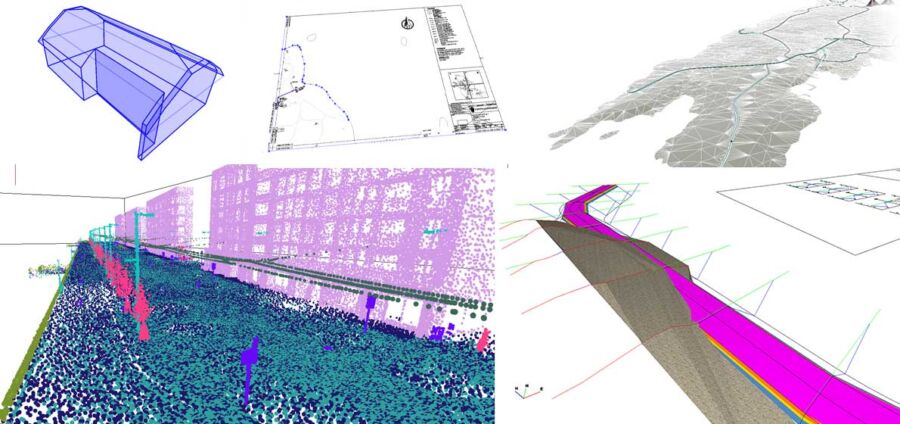
Among the highlights, you will find enhanced point cloud features, the ability to import and edit PDFs as CAD drawings, and improved traceability of your surveying data.
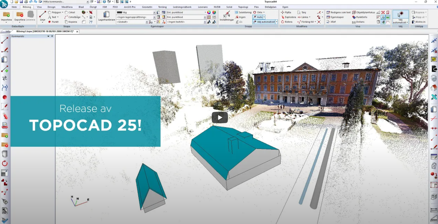
Watch video of the latest news!
Read more about the major updates in Topocad 25 below:
Point Clouds with classification
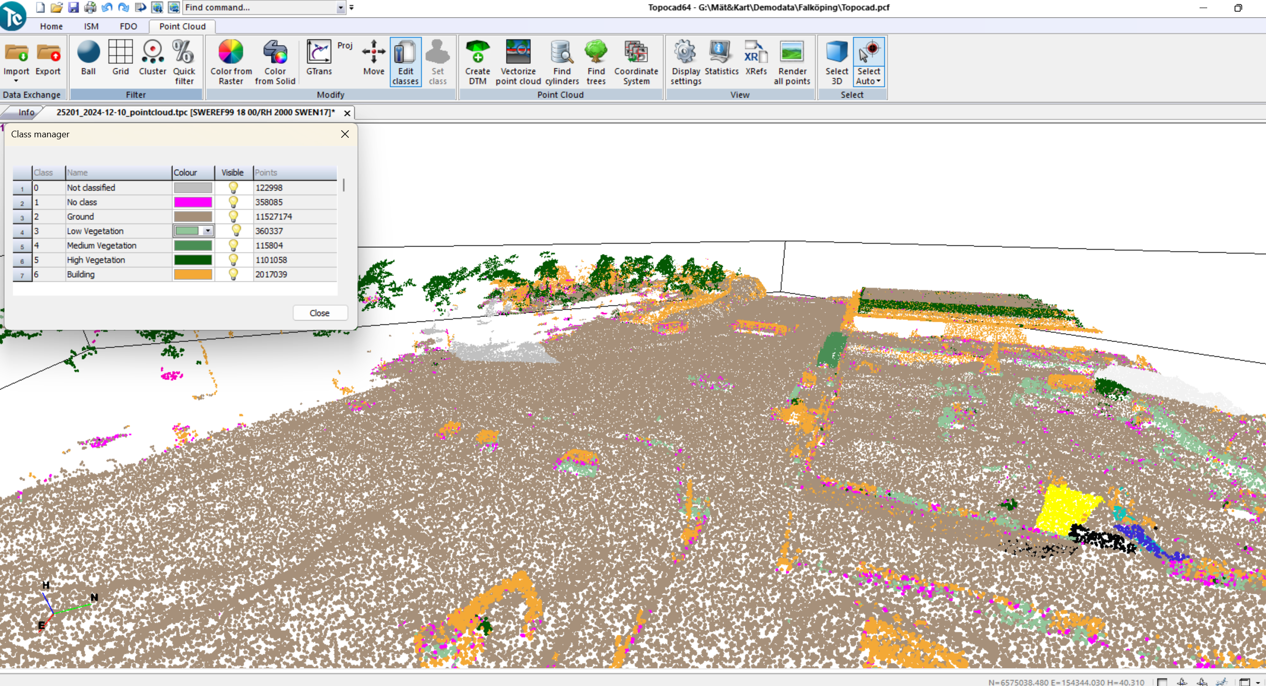
We are taking point clouds to the next level with significantly better performance, clearer visualization, and more options for managing and structuring data.
“Classification is one of the biggest updates. Now, we can turn parts of the point cloud on and off, providing more control and a more structured workflow,” says Jakob Samani.
The new quick filter makes workflows up to 100 times faster. Visualization has been improved with round points that adjust in size depending on distance, creating a more realistic representation. Additionally, we have developed a new tool for vectorizing surfaces—an essential feature for creating 3D buildings directly from point cloud data.
PDFs are no longer just images
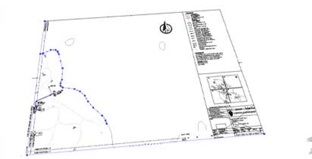
You can now import PDFs as complete CAD drawings, retaining all key elements such as text, lines, layers, and raster images.
This means you can work with PDF files just like any other CAD file, with layer separation and full CAD data.
Data origin for greater traceability and control
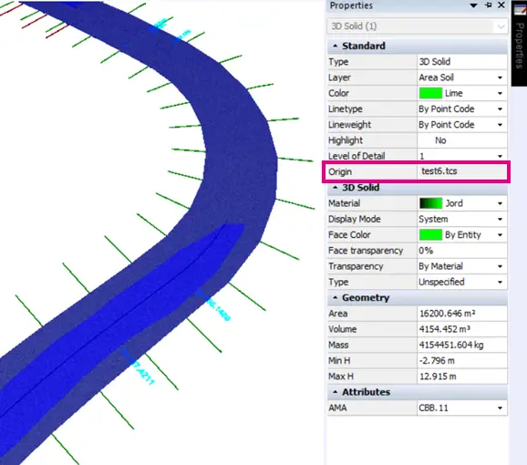
Knowing where your data comes from is sometimes crucial for determining whether a file can be used or not. This provides greater security and better control.
To improve traceability, we have enhanced metadata in Topocad 25 to make data tracking easier. We have also released a new version of BH90 (BA25) with carefully selected attributes. Additionally, we have created a predefined attribute group for survey data and enabled the export of code tables to Trimble FXL. We now also read and write attributes in LandXML, an important step for improving data flow.
These improvements provide better control over your data and make it easy to track its origin and handling.
World-Class volume calculations
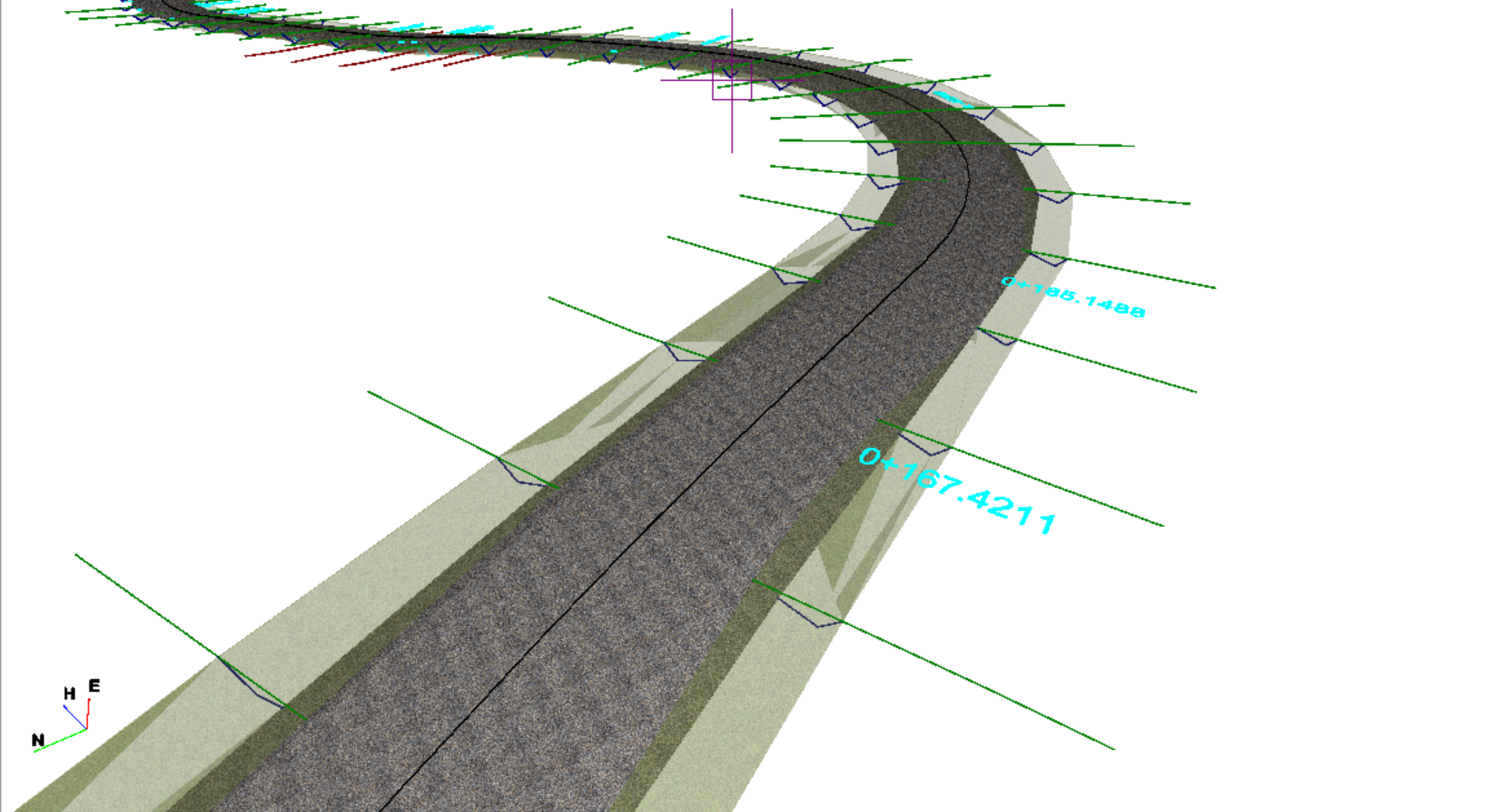
Drawing new layers is now significantly smoother, and we have added new volume calculations for perimeter—particularly useful for geotextiles.
New standard volume calculations have also been introduced for both slopes and excavation bottoms. To further enhance visualization, we have improved how calculation reports appear in drawings, providing more detailed 3D models that include both colors and textures.
Another important addition is support for dynamically connecting elements to multiple layers, enabling more complex solutions. The template is now more dynamic and handles changes more effectively.
Customize your workspace
Customize your workspace exactly as you want! In Topocad 25, you can now create and edit your own toolbars, allowing you to tailor your workspace for a more efficient workflow. The toolbars can be placed wherever suits you best.
Increased graphics management
We are upgrading to DirectX 12, which provides both increased performance and faster rendering. Installation is now easier—everything is already included in Windows. Previous versions remain available for those who prefer to continue using them.
More available Map Services
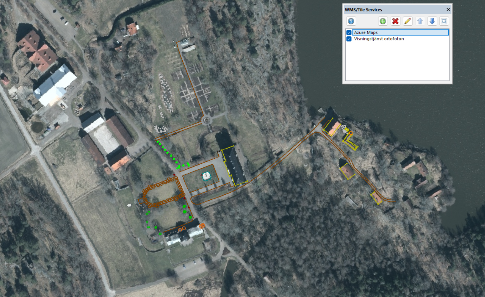
We are expanding support for map services and offering more options to enhance your user experience.
Topocad 25 now includes Azure Maps, Microsoft’s latest mapping service, offering high-quality satellite imagery with fast response times—perfect for users with high demands for map data. We have also added support for XYZ tiles, a simpler map service format that includes OpenStreetMap.
The interface has been updated to be more dynamic and intuitive. Topocad now recognizes the type of service you are using and automatically adjusts settings for a better and more tailored experience.
Easier network adjustment
We have added a new test to verify point IDs — an advanced function that calculates what the point ID should be.
“With this function, we are able to test all types of survey data,” says Jakob Samani.
We look forward to launching Topocad 25 in April and hope you are as excited as we are!


Would you like to receive information about our product news and events?
Subscribe to our newsletter!