Smart functions for terrain models and point clouds in the new Topocad 24.2

Many highly anticipated features are now available in the new Topocad 24.2! Among the new updates, we can now view point information with support for north and east coordinates and take advantage of improved 3D snapping. A new feature makes it easy to toggle the display of shape styles on and off. Terrain model management has also been enhanced with tools to repair triangle errors and a function to simplify terrain models.
Performance has been further improved with new selection options for point clouds and display of height coordinates under the cursor. LandXML import and export functionality has also been enhanced – we can now import all content into a drawing instead of multiple documents, and export terrain models directly from drawings. Additionally, we can now see which template was used via a tooltip on the drawing sheet, and search in the attribute dialog without having to scroll through long lists.
Watch the short videos where Jakob demonstrates his favorites (In Swedish!):
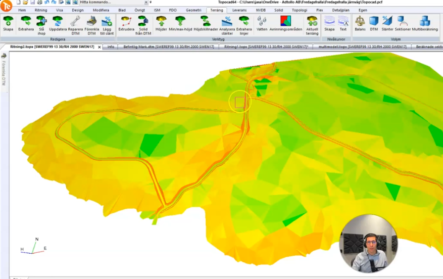
Simplify terrain model
Here, Jakob shows you how to easily reduce the complexity of your terrain model while still retaining the most important geometry:
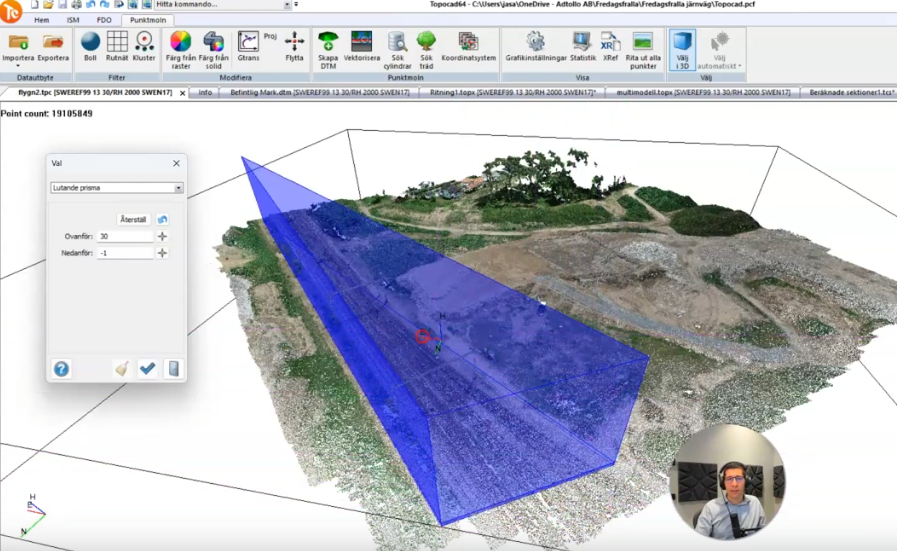
Select more precisely in point clouds using the Sloped Prism tool.
Jakob demonstrates how the new point cloud selection tool, Sloped Prism, gives you greater control over difficult point clouds:


Would you like to receive information about our product news and events?
Subscribe to our newsletter!